In the face of natural disaster - flooding, earthquakes and tsunamis - its vital that responding organisations have an accurate picture of the situation and the need. With telecommunications systems down, and infrastructure often destroyed, it can be impossible to build this picture from the ground.
That's where MAF comes in.
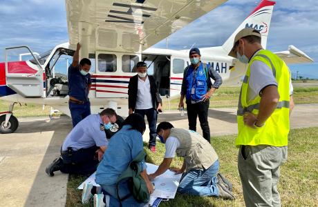
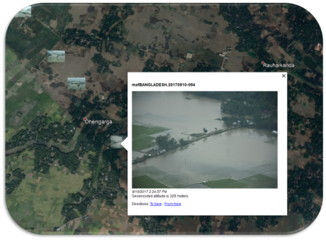
One of the first things MAF can do in a disaster is deploy aircraft to carry out aerial survey flights. These surveys help responders to know where to direct resources. From the air, we can spot areas that have been cut off by landslides, homes that have been destroyed and people awaiting rescue. MAF shares this information with government departments and aid organisations to build a cohesive and effective response quickly, helping to set priorities and assess needs.
The flights provided by Mission Aviation Fellowship have enabled WFP and the Government to assess damages within days instead of weeks
